
The ILA grounds in 3D
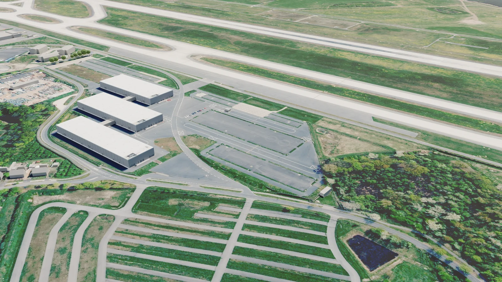
Berlin ExpoCenter Airport as a true-to-scale model: empty in its base state, with the ILA 2026 set-up as a switchable layer, the site fixtures from the as-built plan and halls A to C from inside.
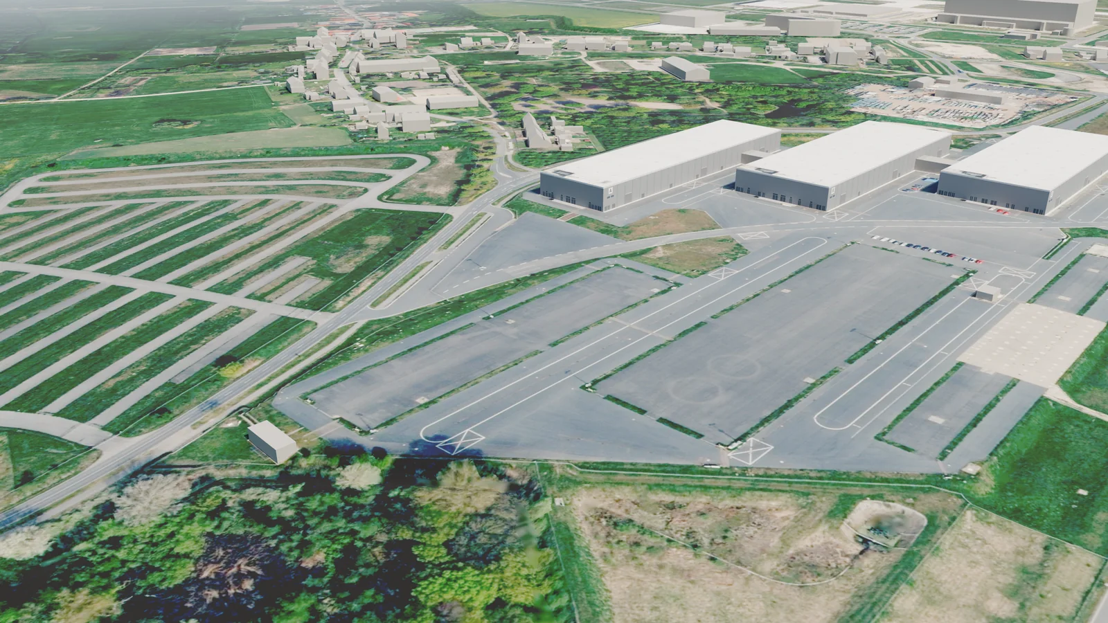 Defence Park and halls A to C Geodata: GeoBasis-DE/LGB (2026), dl-de/by-2-0
 Explore the grounds and halls
Rotate, zoom, switch layers and look inside the halls: grounds, halls and display areas true to scale.
Tip: click a hall to see it from inside. Hall D is the ILA 2026 tent hall (ILA 2026 set-up layer).
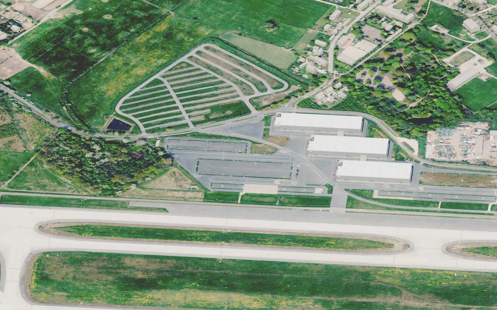
Your browser does not support 3D rendering (WebGL 2). The still image shows an aerial view of the grounds.
Mouse or touch: rotate, pan and zoom; the buttons in the view do the same (tap or press and hold). Keyboard: focus the model, then use the arrow keys to rotate, plus and minus to zoom, W A S D to move and Q and E to float. Esc returns from a hall to the grounds.
Geodata: GeoBasis-DE/LGB (2026), dl-de/by-2-0Planning basis: Messe Berlin
The grounds from above
About the model
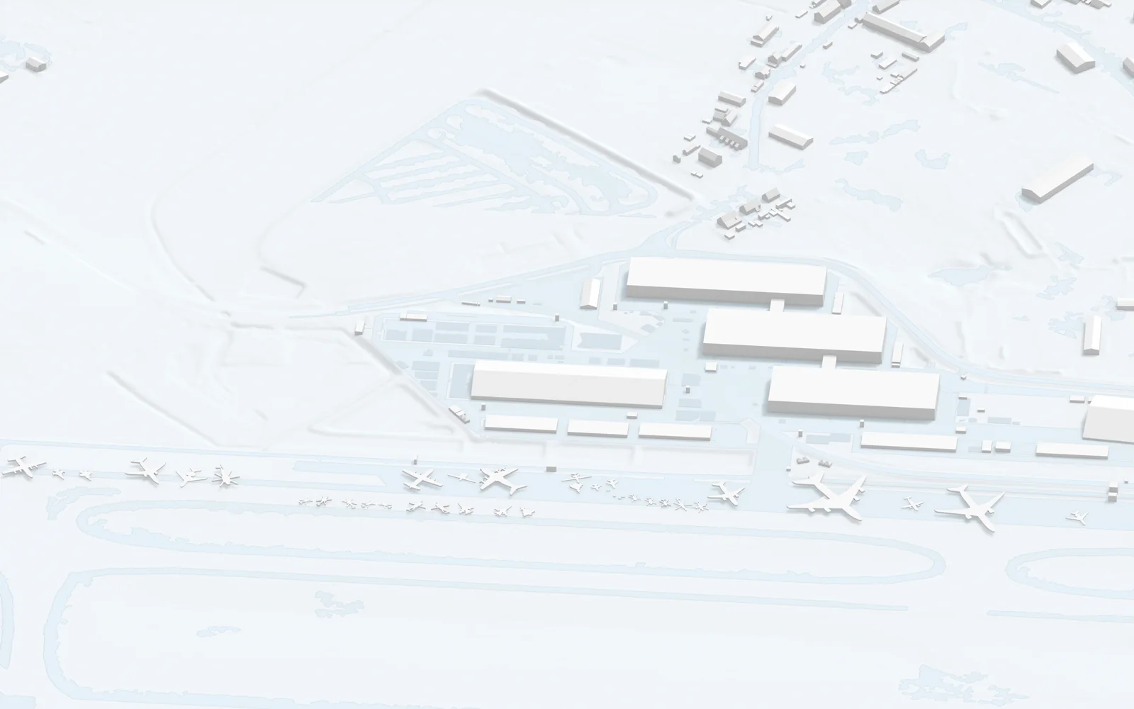
It is based on the CAD site survey of Berlin ExpoCenter Airport and the ILA 2026 master plan by Messe Berlin. Both are fitted to official geodata from the State Survey of Brandenburg: aerial imagery (DOP20), terrain model (DGM1) and 3D buildings (LoD2).
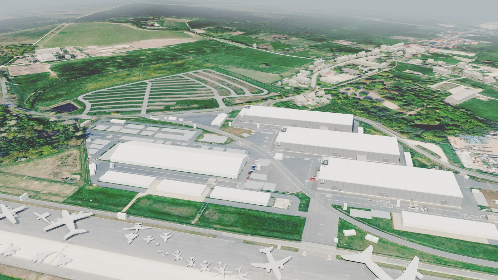
The base state shows the empty grounds with the permanent halls A to C. The ILA 2026 set-up layer adds Hall D, tents, chalets, containers, stand areas and the static display aircraft. The aircraft are generic placeholders sized like the planned types, without liveries.
Halls A to C are built from the Messe Berlin hall plans: floor plan, gates, doors, columns and the entrances from the foyer. The hall facts come from the hall technology flyer; the ILA 2026 stands layer shows the ILA 2026 stand layout without exhibitor details.
The site fixtures layer shows what stands or lies on the surface on site: floodlight masts, street lights, flagpoles, signs, bollards, fences, cabinets, hydrants, manhole covers and drains, and the fire brigade areas, all from the Messe Berlin as-built plan, plus a sharper aerial image around the Defence Park. The “Defence Park, eye level” view shows the area as you would see it on site.
From the stand rental calculator, the model shows your calculated stand to scale in a hall or in the outdoor area. The position is only an example.